
Thank you for supporting this site ❤️
Make a donation
Make a donation
Malana topographic map
Click on the map to display elevation.
Thank you for supporting this site ❤️
Make a donation
Make a donation
About this map
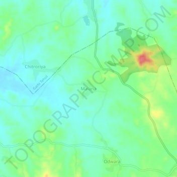
Name: Malana topographic map, elevation, terrain.
Location: Malana, Garhi Tehsil, Banswara, Rajasthan, 327034, India (23.50968 74.13106 23.54968 74.17106)
Average elevation: 176 m
Minimum elevation: 156 m
Maximum elevation: 228 m
Thank you for supporting this site ❤️
Make a donation
Make a donation