
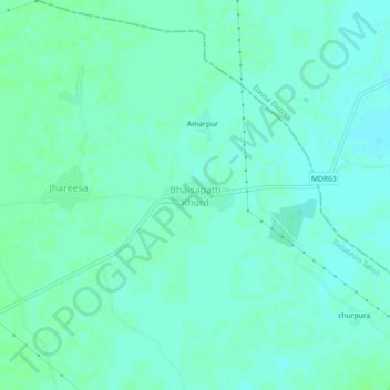
Bhainsa topographic map
Interactive map
Click on the map to display elevation.
About this map
Name: Bhainsa topographic map, elevation, terrain.
Location: Bhainsa, Todabhim Tehsil, Karauli, Rajasthan, India (26.93479 76.88119 26.97479 76.92119)
Average elevation: 238 m
Minimum elevation: 234 m
Maximum elevation: 241 m