
Horia topographic map
Interactive map
Click on the map to display elevation.
About this map
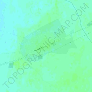
Name: Horia topographic map, elevation, terrain.
Location: Horia, Glogowatz, Arad, 317407, Rumänien (46.18847 21.44285 46.22847 21.48285)
Average elevation: 116 m
Minimum elevation: 112 m
Maximum elevation: 120 m
Other topographic maps
Click on a map to view its topography, its elevation and its terrain.