
Thank you for supporting this site ❤️
Make a donation
Make a donation
Pulau Ujung topographic map
Click on the map to display elevation.
Thank you for supporting this site ❤️
Make a donation
Make a donation
About this map
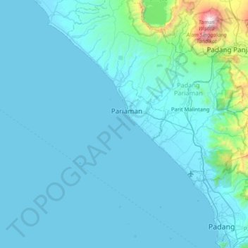
Name: Pulau Ujung topographic map, elevation, terrain.
Location: Pulau Ujung, Pariaman, West Sumatra, 25513, Indonesia (-0.98041 99.79063 -0.34041 100.43063)
Average elevation: 167 m
Minimum elevation: -2 m
Maximum elevation: 2,827 m
Thank you for supporting this site ❤️
Make a donation
Make a donation