
Thank you for supporting this site ❤️
Make a donation
Make a donation
Binakot topographic map
Click on the map to display elevation.
Thank you for supporting this site ❤️
Make a donation
Make a donation
About this map
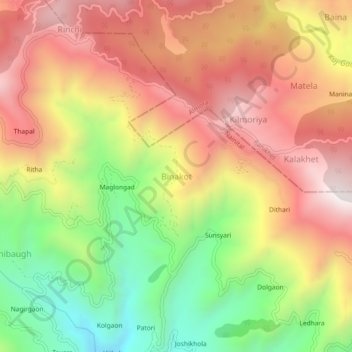
Name: Binakot topographic map, elevation, terrain.
Location: Binakot, Betalghat, Nainital, Uttarakhand, 263663, India (29.57281 79.32623 29.61281 79.36623)
Average elevation: 1,511 m
Minimum elevation: 959 m
Maximum elevation: 1,988 m
Thank you for supporting this site ❤️
Make a donation
Make a donation