
Thank you for supporting this site ❤️
Make a donation
Make a donation
Bussereind topographic map
Click on the map to display elevation.
Thank you for supporting this site ❤️
Make a donation
Make a donation
About this map
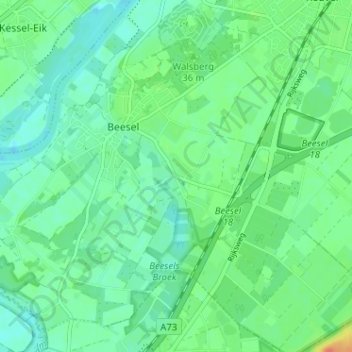
Name: Bussereind topographic map, elevation, terrain.
Location: Bussereind, Beesel, Limburg, Nederland, 5954 GB, Nederland (51.24321 6.03161 51.28321 6.07161)
Average elevation: 25 m
Minimum elevation: 13 m
Maximum elevation: 53 m
Thank you for supporting this site ❤️
Make a donation
Make a donation