
Qatabir district topographic map
Interactive map
Click on the map to display elevation.
About this map
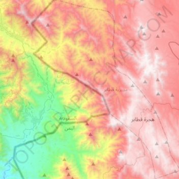
Name: Qatabir district topographic map, elevation, terrain.
Location: Qatabir district, Sa'dah Governorate, Yemen (17.21583 43.22550 17.45780 43.43666)
Average elevation: 1,782 m
Minimum elevation: 540 m
Maximum elevation: 2,762 m
Other topographic maps
Click on a map to view its topography, its elevation and its terrain.
`Ashari
`Ashari, Sahar district, Sa'dah Governorate, Yemen
Average elevation: 1,951 m
Shawal
Yemen > Sa'dah Governorate > Shawal
Shawal, Haydan district, Sa'dah Governorate, Yemen
Average elevation: 1,867 m