
Warthof topographic map
Interactive map
Click on the map to display elevation.
About this map
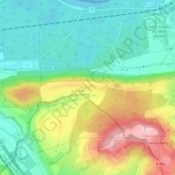
Name: Warthof topographic map, elevation, terrain.
Location: Warthof, Kaisten, Bezirk Laufenburg, Aargau, 5072, Schweiz (47.52720 8.00879 47.54720 8.02879)
Average elevation: 369 m
Minimum elevation: 294 m
Maximum elevation: 503 m