
Thank you for supporting this site ❤️
Make a donation
Make a donation
New Waterford topographic map
Click on the map to display elevation.
Thank you for supporting this site ❤️
Make a donation
Make a donation
About this map
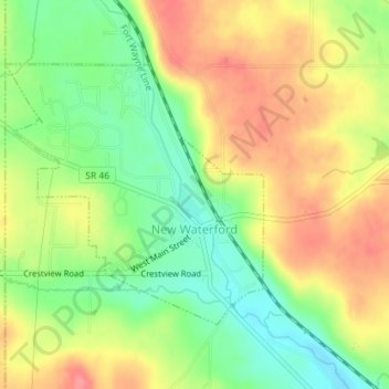
Name: New Waterford topographic map, elevation, terrain.
Location: New Waterford, Columbiana County, Ohio, 44445, United States (40.83841 -80.63187 40.85650 -80.60817)
Average elevation: 348 m
Minimum elevation: 307 m
Maximum elevation: 389 m
Thank you for supporting this site ❤️
Make a donation
Make a donation