
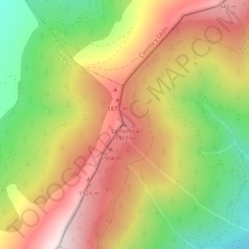
La Peñota topographic map
Interactive map
Click on the map to display elevation.
About this map
Name: La Peñota topographic map, elevation, terrain.
Average elevation: 1,699 m
Minimum elevation: 1,348 m
Maximum elevation: 2,021 m
Other topographic maps
Click on a map to view its topography, its elevation and its terrain.
Las Navas
España > Comunidad de Madrid > Villavieja del Lozoya
Las Navas, Villavieja del Lozoya, Sierra Norte, Comunidad de Madrid, 28739, España
Average elevation: 1,051 m