
Las Abras topographic map
Interactive map
Click on the map to display elevation.
About this map
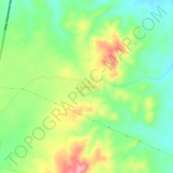
Name: Las Abras topographic map, elevation, terrain.
Location: Las Abras, Yacuíba, Gran Chaco, Tarija, Bolivia (-21.71344 -63.55124 -21.67344 -63.51124)
Average elevation: 665 m
Minimum elevation: 605 m
Maximum elevation: 757 m