
Innerarosa topographic map
Interactive map
Click on the map to display elevation.
About this map
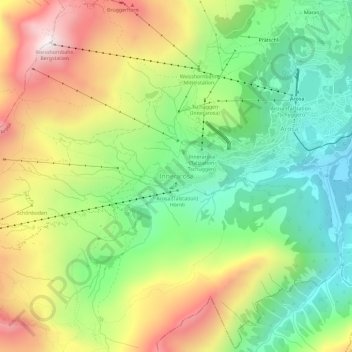
Name: Innerarosa topographic map, elevation, terrain.
Location: Innerarosa, Arosa, Plessur, Graubünden, 7050, Schweiz (46.75446 9.63974 46.79446 9.67974)
Average elevation: 2,037 m
Minimum elevation: 1,611 m
Maximum elevation: 2,645 m