
Thiendorf topographic map
Interactive map
Click on the map to display elevation.
About this map
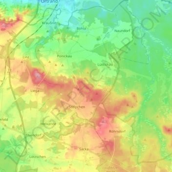
Name: Thiendorf topographic map, elevation, terrain.
Location: Thiendorf, Meißen, Sachsen, Deutschland (51.27015 13.71065 51.37653 13.85609)
Average elevation: 150 m
Minimum elevation: 105 m
Maximum elevation: 213 m