
Thank you for supporting this site ❤️
Make a donation
Make a donation
Somerset County topographic map
Click on the map to display elevation.
Thank you for supporting this site ❤️
Make a donation
Make a donation
About this map
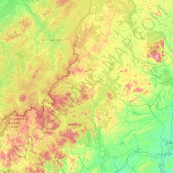
Name: Somerset County topographic map, elevation, terrain.
Location: Somerset County, Maine, United States (44.57732 -70.55287 46.57407 -69.26672)
Average elevation: 362 m
Minimum elevation: -3 m
Maximum elevation: 1,577 m
Thank you for supporting this site ❤️
Make a donation
Make a donation