
Enge IJssel topographic map
Interactive map
Click on the map to display elevation.
About this map
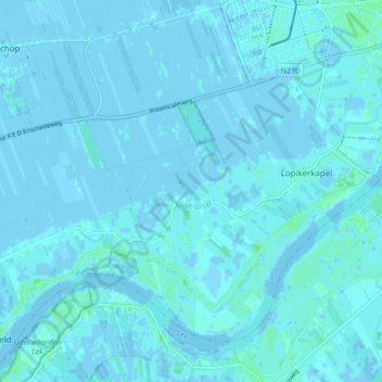
Name: Enge IJssel topographic map, elevation, terrain.
Location: Enge IJssel, Lopik, Utrecht, Nederland, 3411LV, Nederland (51.97994 4.97795 51.99929 5.06207)
Average elevation: 1 m
Minimum elevation: -3 m
Maximum elevation: 7 m