
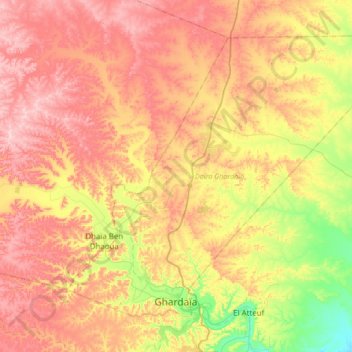
Ghardaia topographic map
Interactive map
Click on the map to display elevation.
About this map
Name: Ghardaia topographic map, elevation, terrain.
Location: Ghardaia, Ghardaia District, Ghardaia, Algeria (32.47352 3.57204 32.70199 3.90997)
Average elevation: 555 m
Minimum elevation: 419 m
Maximum elevation: 689 m