
Thank you for supporting this site ❤️
Make a donation
Make a donation
Benner Township topographic map
Click on the map to display elevation.
Thank you for supporting this site ❤️
Make a donation
Make a donation
About this map
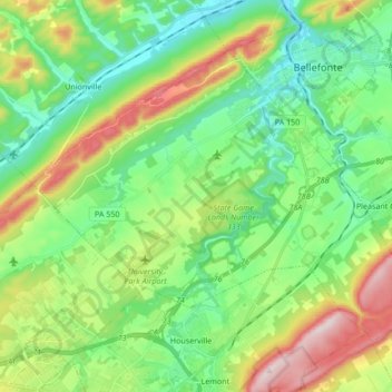
Name: Benner Township topographic map, elevation, terrain.
Location: Benner Township, Centre County, Pennsylvania, United States (40.82365 -77.89762 40.91909 -77.72796)
Average elevation: 347 m
Minimum elevation: 215 m
Maximum elevation: 628 m
Thank you for supporting this site ❤️
Make a donation
Make a donation