
Tall Abu Susah topographic map
Interactive map
Click on the map to display elevation.
About this map
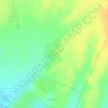
Name: Tall Abu Susah topographic map, elevation, terrain.
Location: Tall Abu Susah, منطقة دير حافر, Gouvernorat d'Alep, Syrie (36.15918 37.70594 36.19918 37.74594)
Average elevation: 356 m
Minimum elevation: 341 m
Maximum elevation: 371 m