
Tchiatoura topographic map
Interactive map
Click on the map to display elevation.
About this map
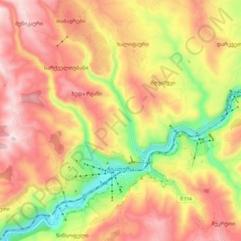
Name: Tchiatoura topographic map, elevation, terrain.
Location: Tchiatoura, Municipalité de Tchiatoura, Iméréthie, Géorgie (42.27549 43.26125 42.33244 43.34971)
Average elevation: 586 m
Minimum elevation: 329 m
Maximum elevation: 786 m