
Südharz topographic map
Interactive map
Click on the map to display elevation.
About this map
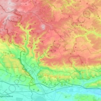
Name: Südharz topographic map, elevation, terrain.
Location: Südharz, Mansfeld-Südharz, Sachsen-Anhalt, Deutschland (51.44025 10.88277 51.63379 11.20019)
Average elevation: 342 m
Minimum elevation: 137 m
Maximum elevation: 600 m