
Bhadohi topographic map
Interactive map
Click on the map to display elevation.
About this map
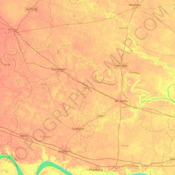
Name: Bhadohi topographic map, elevation, terrain.
Location: Bhadohi, Sant Ravidas Nagar, Uttar Pradesh, India (25.31032 82.28416 25.53539 82.70971)
Average elevation: 86 m
Minimum elevation: 61 m
Maximum elevation: 92 m
Other topographic maps
Click on a map to view its topography, its elevation and its terrain.