
Mol topographic map
Interactive map
Click on the map to display elevation.
About this map
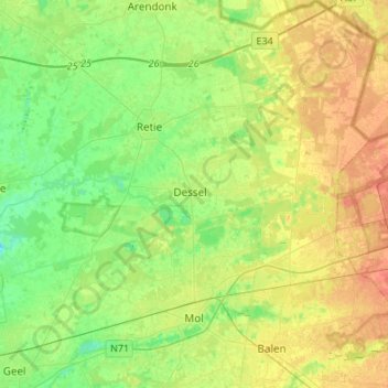
Name: Mol topographic map, elevation, terrain.
Location: Mol, Turnhout, Antwerp, 2400, Belgium (51.15348 5.03541 51.32261 5.24219)
Average elevation: 27 m
Minimum elevation: 9 m
Maximum elevation: 51 m