
Baldones pagasts topographic map
Interactive map
Click on the map to display elevation.
About this map
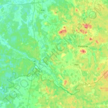
Name: Baldones pagasts topographic map, elevation, terrain.
Location: Baldones pagasts, Ķekavas novads, Vidzeme, Latvia (56.65951 24.20698 56.79500 24.53381)
Average elevation: 25 m
Minimum elevation: 4 m
Maximum elevation: 78 m