
Nias Island topographic map
Interactive map
Click on the map to display elevation.
About this map
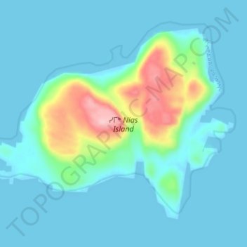
Name: Nias Island topographic map, elevation, terrain.
Location: Nias Island, Kivalliq Region, Nunavut, Canada (65.51974 -84.68870 65.54676 -84.60454)
Average elevation: 31 m
Minimum elevation: -1 m
Maximum elevation: 200 m
Other topographic maps
Click on a map to view its topography, its elevation and its terrain.
Baker Lake
Canada > Nunavut > Kivalliq Region
Baker Lake, Kivalliq Region, Nunavut, X0C 0A0, Canada
Average elevation: 50 m