
Make a donation
Santa Paula topographic map
Click on the map to display elevation.
Make a donation
Santa Paula
On October 31, 2019, the Maria Fire was reported burning at the top of South Mountain between Santa Paula and Somis and expanded throughout that evening. Heavily influenced by 20–30 mph (32–48 km/h) winds within the canyons, the fire became a full scale conflagration, growing from 50 to 750 acres (20 to 304 ha) inside an hour, to over 4,000 acres (16 km2) after several hours. The fire worked its way north towards Santa Paula where the topography of the Santa Clara River Valley which can serve as a funnel for Santa Ana winds. Mandatory evacuations were ordered for a wide swath of over 1,800 homes surrounding the fire area, affecting over 7,500 residences.
Make a donation
About this map
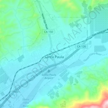
Name: Santa Paula topographic map, elevation, terrain.
Location: Santa Paula, Ventura County, California, United States (34.32732 -119.09703 34.38368 -119.03557)
Average elevation: 148 m
Minimum elevation: 62 m
Maximum elevation: 682 m
Make a donation