
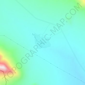
لنجرود topographic map
Interactive map
Click on the map to display elevation.
About this map
Name: لنجرود topographic map, elevation, terrain.
Location: لنجرود, بخش زالیان, Shazand County, Markazi Province, Iran (34.11013 49.17596 34.15013 49.21596)
Average elevation: 2,121 m
Minimum elevation: 1,987 m
Maximum elevation: 2,824 m