
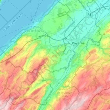
Estavayer topographic map
Interactive map
Click on the map to display elevation.
About this map
Name: Estavayer topographic map, elevation, terrain.
Location: Estavayer, Broye Bezirk, Freiburg, Schweiz (46.71737 6.74870 46.88729 6.93063)
Average elevation: 555 m
Minimum elevation: 422 m
Maximum elevation: 826 m