
Thank you for supporting this site ❤️
Make a donation
Make a donation
Jalora topographic map
Click on the map to display elevation.
Thank you for supporting this site ❤️
Make a donation
Make a donation
About this map
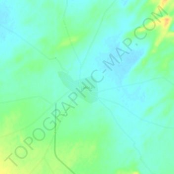
Name: Jalora topographic map, elevation, terrain.
Location: Jalora, Lohawat Tehsil, Phalodi, Rajasthan, India (26.97439 72.38958 27.01439 72.42958)
Average elevation: 279 m
Minimum elevation: 269 m
Maximum elevation: 301 m
Thank you for supporting this site ❤️
Make a donation
Make a donation