
Poblete topographic map
Interactive map
Click on the map to display elevation.
About this map
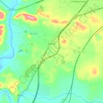
Name: Poblete topographic map, elevation, terrain.
Location: Poblete, Ciudad Real, Castile-La Mancha, 13195, Spain (38.89936 -4.05269 38.95922 -3.95287)
Average elevation: 623 m
Minimum elevation: 569 m
Maximum elevation: 731 m
Other topographic maps
Click on a map to view its topography, its elevation and its terrain.