
San Martín topographic map
Interactive map
Click on the map to display elevation.
About this map
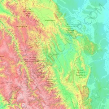
Name: San Martín topographic map, elevation, terrain.
Location: San Martín, Peru (-8.79630 -77.77568 -5.40647 -75.48676)
Average elevation: 1,480 m
Minimum elevation: 103 m
Maximum elevation: 5,621 m
Other topographic maps
Click on a map to view its topography, its elevation and its terrain.