
บ้านปากเหมือง topographic map
Interactive map
Click on the map to display elevation.
About this map
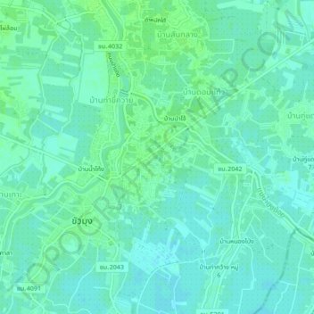
Name: บ้านปากเหมือง topographic map, elevation, terrain.
Location: บ้านปากเหมือง, Saraphi District, Chiang Mai, Thaïlande (18.66243 98.97150 18.70243 99.01150)
Average elevation: 297 m
Minimum elevation: 293 m
Maximum elevation: 302 m