
Yongin-si topographic map
Interactive map
Click on the map to display elevation.
About this map
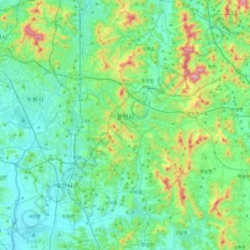
Name: Yongin-si topographic map, elevation, terrain.
Location: Yongin-si, Gyeonggi, South Korea (37.08464 127.01620 37.37229 127.42993)
Average elevation: 126 m
Minimum elevation: 3 m
Maximum elevation: 609 m
Other topographic maps
Click on a map to view its topography, its elevation and its terrain.