
Gucha topographic map
Interactive map
Click on the map to display elevation.
About this map
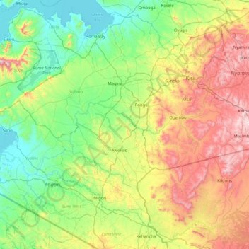
Name: Gucha topographic map, elevation, terrain.
Location: Gucha, Migori County, Nyanza, 40200, Kenia (-0.99322 34.14231 -0.65450 34.96733)
Average elevation: 1,477 m
Minimum elevation: 1,128 m
Maximum elevation: 2,236 m