
Maleku topographic map
Interactive map
Click on the map to display elevation.
About this map
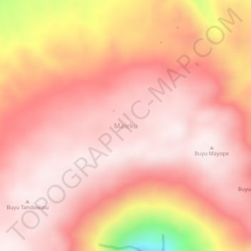
Name: Maleku topographic map, elevation, terrain.
Location: Maleku, Sulsel, Indonesia (-2.37256 120.62869 -2.33256 120.66869)
Average elevation: 1,835 m
Minimum elevation: 1,369 m
Maximum elevation: 1,979 m