
Abata topographic map
Interactive map
Click on the map to display elevation.
About this map
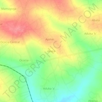
Name: Abata topographic map, elevation, terrain.
Location: Abata, Amuria, Eastern Region, Ouganda (2.03000 33.46333 2.07000 33.50333)
Average elevation: 1,146 m
Minimum elevation: 1,106 m
Maximum elevation: 1,183 m