
Voortkapel topographic map
Interactive map
Click on the map to display elevation.
About this map
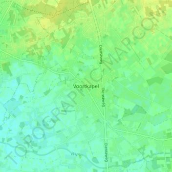
Name: Voortkapel topographic map, elevation, terrain.
Location: Voortkapel, Westerlo, Turnhout, Antwerp, 2260, Belgium (51.09559 4.84233 51.13559 4.88233)
Average elevation: 15 m
Minimum elevation: 8 m
Maximum elevation: 23 m
Other topographic maps
Click on a map to view its topography, its elevation and its terrain.