
Thank you for supporting this site ❤️
Make a donation
Make a donation
Valluru topographic map
Click on the map to display elevation.
Thank you for supporting this site ❤️
Make a donation
Make a donation
About this map
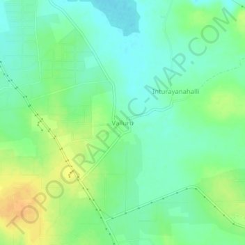
Name: Valluru topographic map, elevation, terrain.
Location: Valluru, Pavagada taluk, Tumakuru District, Karnataka, India (14.26697 77.40020 14.30697 77.44020)
Average elevation: 564 m
Minimum elevation: 551 m
Maximum elevation: 585 m
Thank you for supporting this site ❤️
Make a donation
Make a donation