
Giebenach topographic map
Interactive map
Click on the map to display elevation.
About this map
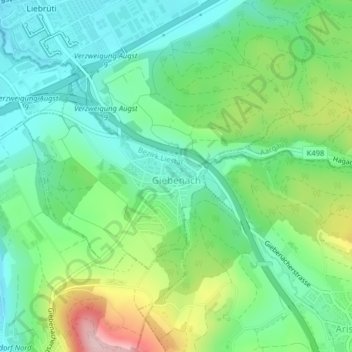
Name: Giebenach topographic map, elevation, terrain.
Location: Giebenach, Bezirk Liestal, Basel-Landschaft, 4304, Schweiz (47.51689 7.72795 47.53127 7.74902)
Average elevation: 353 m
Minimum elevation: 282 m
Maximum elevation: 509 m