
Thank you for supporting this site ❤️
Make a donation
Make a donation
Goron topographic map
Click on the map to display elevation.
Thank you for supporting this site ❤️
Make a donation
Make a donation
About this map
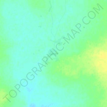
Name: Goron topographic map, elevation, terrain.
Location: Goron, Tougan, Sourou, Boucle du Mouhoun, Burkina Faso (12.98162 -2.77920 13.02162 -2.73920)
Average elevation: 287 m
Minimum elevation: 280 m
Maximum elevation: 299 m
Thank you for supporting this site ❤️
Make a donation
Make a donation
Other topographic maps
Click on a map to view its topography, its elevation and its terrain.