
White Rock topographic map
Interactive map
Click on the map to display elevation.
About this map
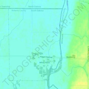
Name: White Rock topographic map, elevation, terrain.
Location: White Rock, Roberts County, South Dakota, United States (45.91334 -96.58728 45.93529 -96.56367)
Average elevation: 300 m
Minimum elevation: 294 m
Maximum elevation: 315 m