
Thank you for supporting this site ❤️
Make a donation
Make a donation
Virgavan topographic map
Click on the map to display elevation.
Thank you for supporting this site ❤️
Make a donation
Make a donation
About this map
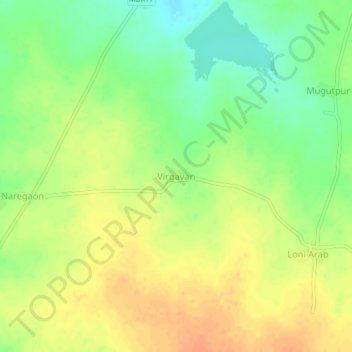
Name: Virgavan topographic map, elevation, terrain.
Location: Virgavan, Karanja, Washim, Maharashtra, India (20.56143 77.56084 20.60143 77.60084)
Average elevation: 366 m
Minimum elevation: 345 m
Maximum elevation: 382 m
Thank you for supporting this site ❤️
Make a donation
Make a donation
Other topographic maps
Click on a map to view its topography, its elevation and its terrain.