
سێتاقان ١١٠ topographic map
Interactive map
Click on the map to display elevation.
About this map
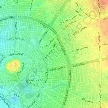
Name: سێتاقان ١١٠ topographic map, elevation, terrain.
Average elevation: 419 m
Minimum elevation: 401 m
Maximum elevation: 438 m
Other topographic maps
Click on a map to view its topography, its elevation and its terrain.
Erbil
Erbil, ناحیەی ناوەندی هەولێر, قەزای ناوەندی هەولێر, Gobernación de Erbil, هەرێمی کوردستان, 44001, Irak
Average elevation: 462 m