
Thank you for supporting this site ❤️
Make a donation
Make a donation
McLoud topographic map
Click on the map to display elevation.
Thank you for supporting this site ❤️
Make a donation
Make a donation
About this map
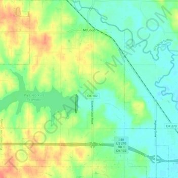
Name: McLoud topographic map, elevation, terrain.
Location: McLoud, Pottawatomie County, Oklahoma, 74851, United States (35.36882 -97.14212 35.44941 -97.04716)
Average elevation: 332 m
Minimum elevation: 312 m
Maximum elevation: 367 m
Thank you for supporting this site ❤️
Make a donation
Make a donation
Other topographic maps
Click on a map to view its topography, its elevation and its terrain.