
La Manga topographic map
Interactive map
Click on the map to display elevation.
About this map
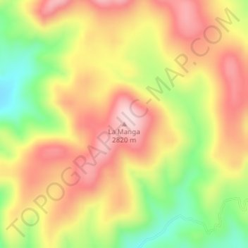
Name: La Manga topographic map, elevation, terrain.
Location: La Manga, Guerrero, Chihuahua, México (28.15865 -107.74120 28.15875 -107.74110)
Average elevation: 2,689 m
Minimum elevation: 2,527 m
Maximum elevation: 2,817 m