
Thank you for supporting this site ❤️
Make a donation
Make a donation
Gajulagudem topographic map
Click on the map to display elevation.
Thank you for supporting this site ❤️
Make a donation
Make a donation
About this map
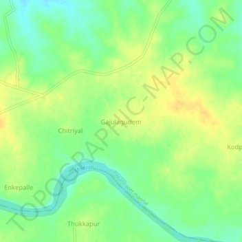
Name: Gajulagudem topographic map, elevation, terrain.
Location: Gajulagudem, Papannapet mandal, Medak, Telangana, India (17.96451 78.09743 18.00451 78.13743)
Average elevation: 475 m
Minimum elevation: 461 m
Maximum elevation: 488 m
Thank you for supporting this site ❤️
Make a donation
Make a donation