
Thank you for supporting this site ❤️
Make a donation
Make a donation
Airport Drive topographic map
Click on the map to display elevation.
Thank you for supporting this site ❤️
Make a donation
Make a donation
About this map
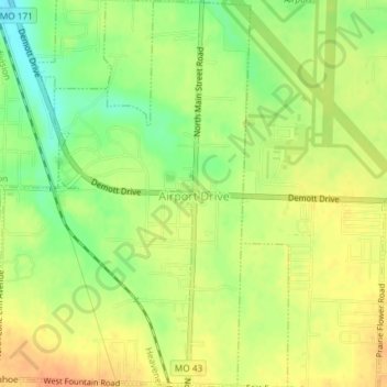
Name: Airport Drive topographic map, elevation, terrain.
Location: Airport Drive, Jasper County, Missouri, United States (37.12808 -94.52952 37.15732 -94.50543)
Average elevation: 294 m
Minimum elevation: 271 m
Maximum elevation: 311 m
Thank you for supporting this site ❤️
Make a donation
Make a donation
Other topographic maps
Click on a map to view its topography, its elevation and its terrain.