
Yarada topographic map
Interactive map
Click on the map to display elevation.
About this map
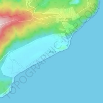
Name: Yarada topographic map, elevation, terrain.
Location: Yarada, Gajuwaka, Visakhapatnam, Andhra Pradesh, 530005, India (17.63950 83.25598 17.67950 83.29598)
Average elevation: 60 m
Minimum elevation: 0 m
Maximum elevation: 346 m
Other topographic maps
Click on a map to view its topography, its elevation and its terrain.
Kotturu
India > Andhra Pradesh > Gajuwaka
Kotturu, Gajuwaka, Visakhapatnam District, Andhra Pradesh, 530046, India
Average elevation: 84 m