
Abela topographic map
Interactive map
Click on the map to display elevation.
About this map
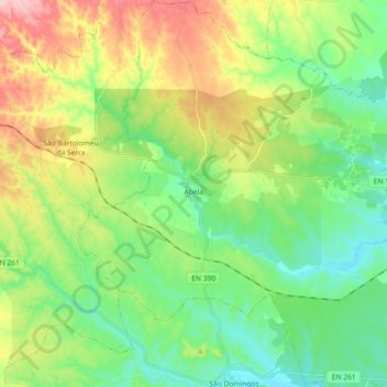
Name: Abela topographic map, elevation, terrain.
Location: Abela, Santiago do Cacém, Setúbal, Portugal (37.92868 -8.61339 38.07129 -8.43262)
Average elevation: 137 m
Minimum elevation: 68 m
Maximum elevation: 271 m