
Overland Park topographic map
Interactive map
Click on the map to display elevation.
About this map
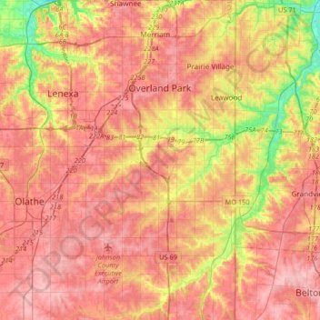
Name: Overland Park topographic map, elevation, terrain.
Location: Overland Park, Johnson County, Kansas, États-Unis d'Amérique (38.78913 -94.76107 39.04407 -94.60767)
Average elevation: 300 m
Minimum elevation: 227 m
Maximum elevation: 343 m