
Churute topographic map
Interactive map
Click on the map to display elevation.
About this map
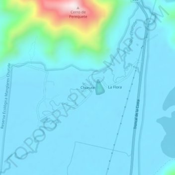
Name: Churute topographic map, elevation, terrain.
Location: Churute, Taura, Naranjal, Guayas, Ecuador (-2.44532 -79.65725 -2.40532 -79.61725)
Average elevation: 72 m
Minimum elevation: -2 m
Maximum elevation: 669 m